"Get Out of Here" — Woman Accuses Google Earth of Lying to People About Size of Ocean
"Zealandia it’s supposedly the lost 8th continent."
Published Nov. 17 2024, 10:48 a.m. ET
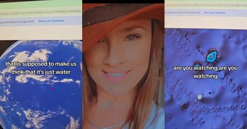
A woman believes she's caught Google in the act of lying about the size of the ocean. By intentionally misrepresenting the amount of water on our planet Meagan Marie (@travelingismyhappyplace) avers that the Cupertino-based tech giant is lying about how much land mass there really is on Earth.
In a viral TikTok that's garnered over 845,000 views on the application, she shows what she believes to be visual proof of Google's photographic tomfoolery.
Meagan begins her video by recording a computer screen, which shows a topographical map of a section of the ocean. "OK y'all I've been saying for a long time that this blue is more than just water."
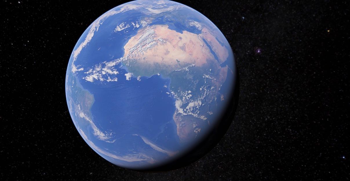
That's because the TikToker says Google Earth's earth surveying tool presents intriguing visual data to users. Data that gives them a comprehensive picture of land and water formations that could reshape the way we view our planet.
Meagan continues: "And for me, just, if you look at the shapes of this, I mean to me it's obvious that there's more land they're not showing us." She zooms in on the ocean mass that she's speaking to, highlighting several ridges in the water lines. Indeed, it appears as if there are mountain ranges and other land formations under the water.
She seems to indicate that planet Earth has more land on it than Google Earth's visualization of our planet indicates. "But let me show you what I found."
Next, she zooms into a portion of the map located next to Fiji. She zooms in on another portion of the map until she gets to a pair of what appears to be small, dotted islands.
Following this, she zooms in even closer on what looks like a small hole that's been punched into the middle of the ocean. However, it seems like a portion of this hole has been "cut" out, almost like a cookie that's been bitten by a child and left on a kitchen counter.

Meagan seems to interpret this as a land mass that's been Photoshopped or intentionally "erased" by Google so it doesn't show up on its application. "It looks like there's actually land that they didn't uncover properly," she says.
She points to the other land mass, which also seems to be surrounded by this same hue of blue bubbling around it. "So like I said, how much more land is underneath all this blue that is supposed to make us think that it's just water? Get out of here."
The YouTube account Half as Interesting published a video detailing why the ocean looks "fake" on Google Maps and Google Earth. The person narrating the video highlighted visual anomalies similar to the ones delineated in Meagan's TikTok.
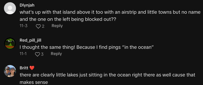
In the clip, the channel likens these anomalies to Papa Smurf's "aging skin" but then provides an explanation as to why it seems strange. Because of the way Google's application aggregates and subsequently visualizes water data from satellite imagery, it's difficult to capture and put together this data in a truly realistic replication.
Further compounding this problem is the nature of aerial photography when it comes to large bodies of water. Satellite imagery is more successful with accurately snapping photos of land masses and more metropolitan areas. That's because there's more distinction and contrast in this imagery, which gives data imaging tools more variety to work with to create visual reference points.
Creating visual reference points with miles and miles of water that, for the most part, looks visually identical. Furthermore, add in the fact that water is a natural "specular reflector", and you're giving aerial/satellite photo technology a tall order of accurately representing the water.
So basically, the difficulties in accurately capturing aerial ocean data with current technology and how Google codes its Maps and Earth program to represent this imagery, is why these strange shapes form on the application.
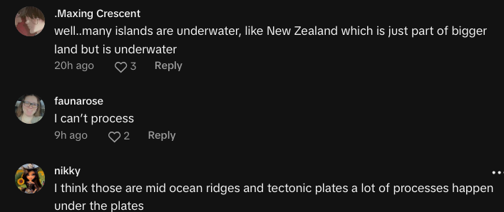
However, there are others who believe that there are indeed hidden land masses. Some even referenced "Zealandia" which is considered the lost 8th continent on planet Earth that, over ages and ages, became completely submerged underwater.